As one of our guests recently said, The Old Quarry is located in a walkers’ paradise. There are so many great walks to choose from, so why not start with the highest of them all, Dunkery Beacon. This is highest spot on Exmoor and in all of Somerset.
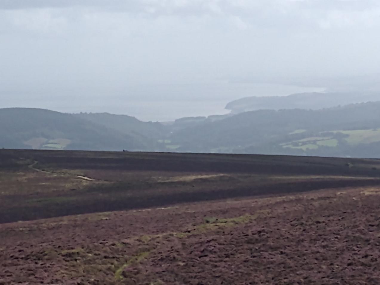
Standing at 520m, from the peak it gives great views over the surrounding hills and across the moorland to the sea at both Porlock and Minehead Bays. On clear days you can also see the Brecon Beacons across the Bristol Channel to the North. So too, Dartmoor to the South and Bodmin Moor to the South West are also visible.
There are various walking routes, some of which start nearer to the summit in terms of altitude. We chose to start at Webber’s Post, a car park area just over 1.5 miles (as the crow flies) from the summit and nearly 300m below it.
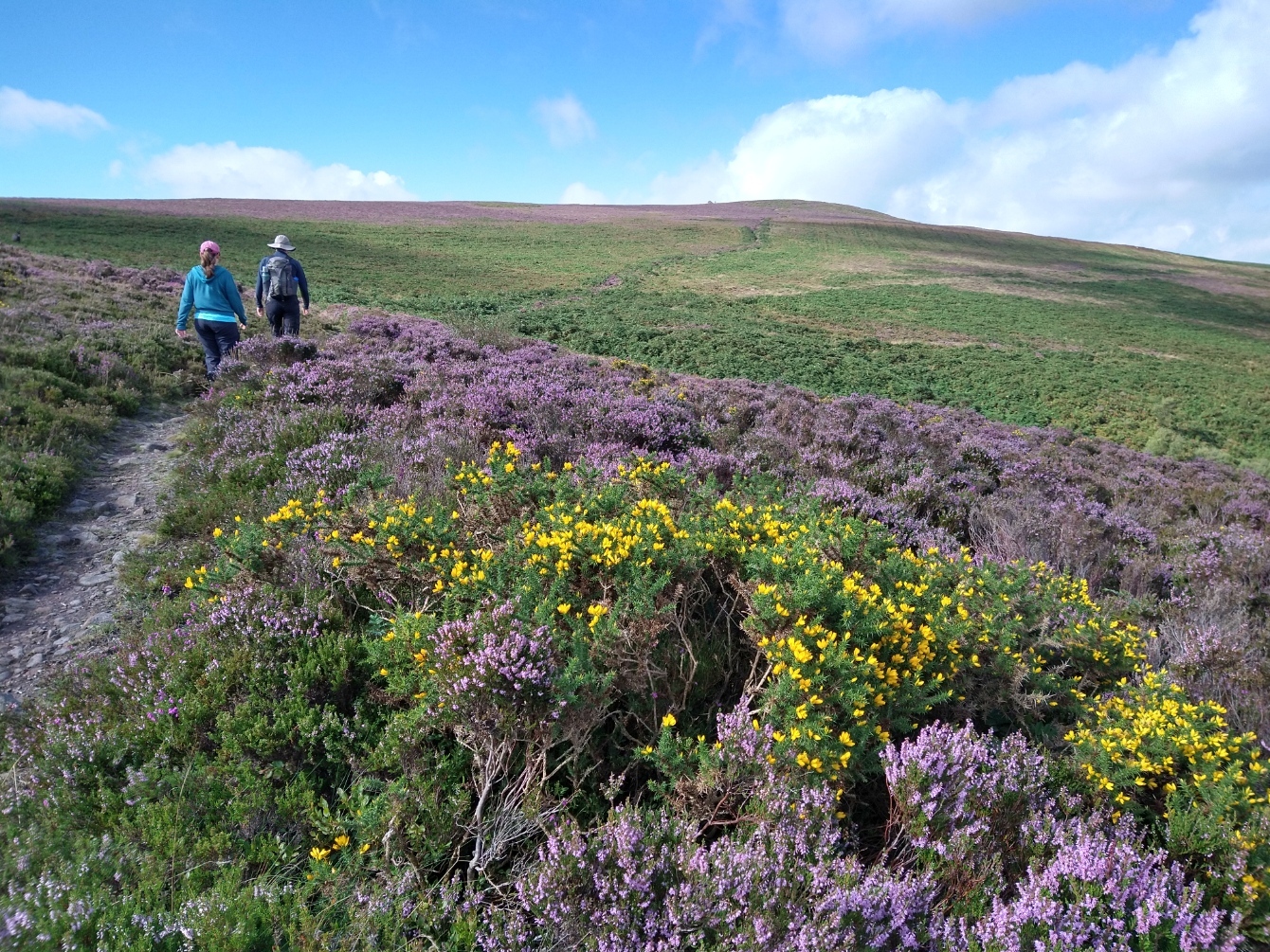
Our chosen path to the summit was a gentle incline all the way from the car park. August was a beautiful time to do it, with the moorland heather and gorse in full bloom.
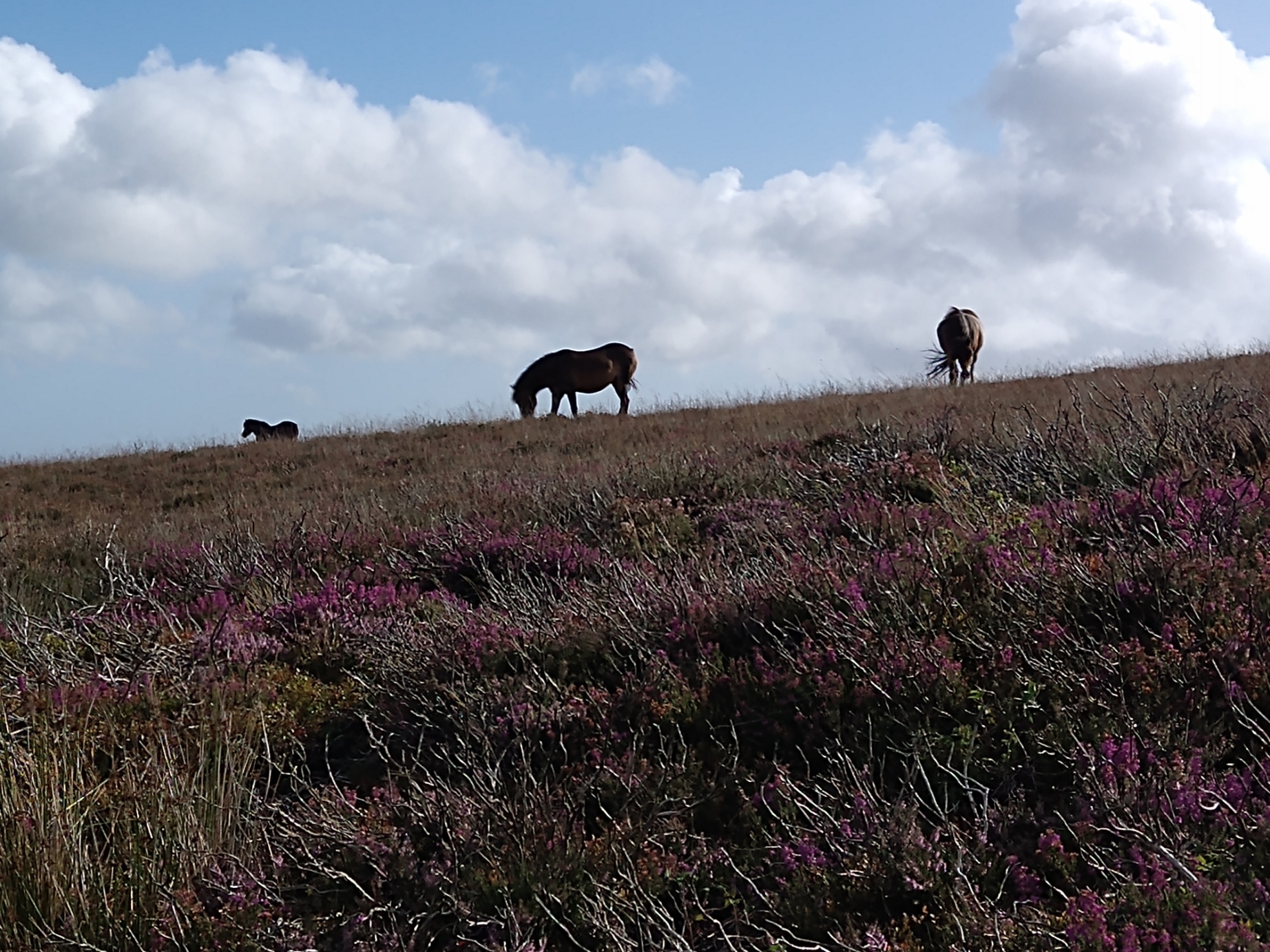
As well as being accompanied by butterflies, we also got to see two groups of Exmoor ponies grazing. There were also five deer, who had presumably already been to the summit themselves, descending to the car park on a different path to ours.
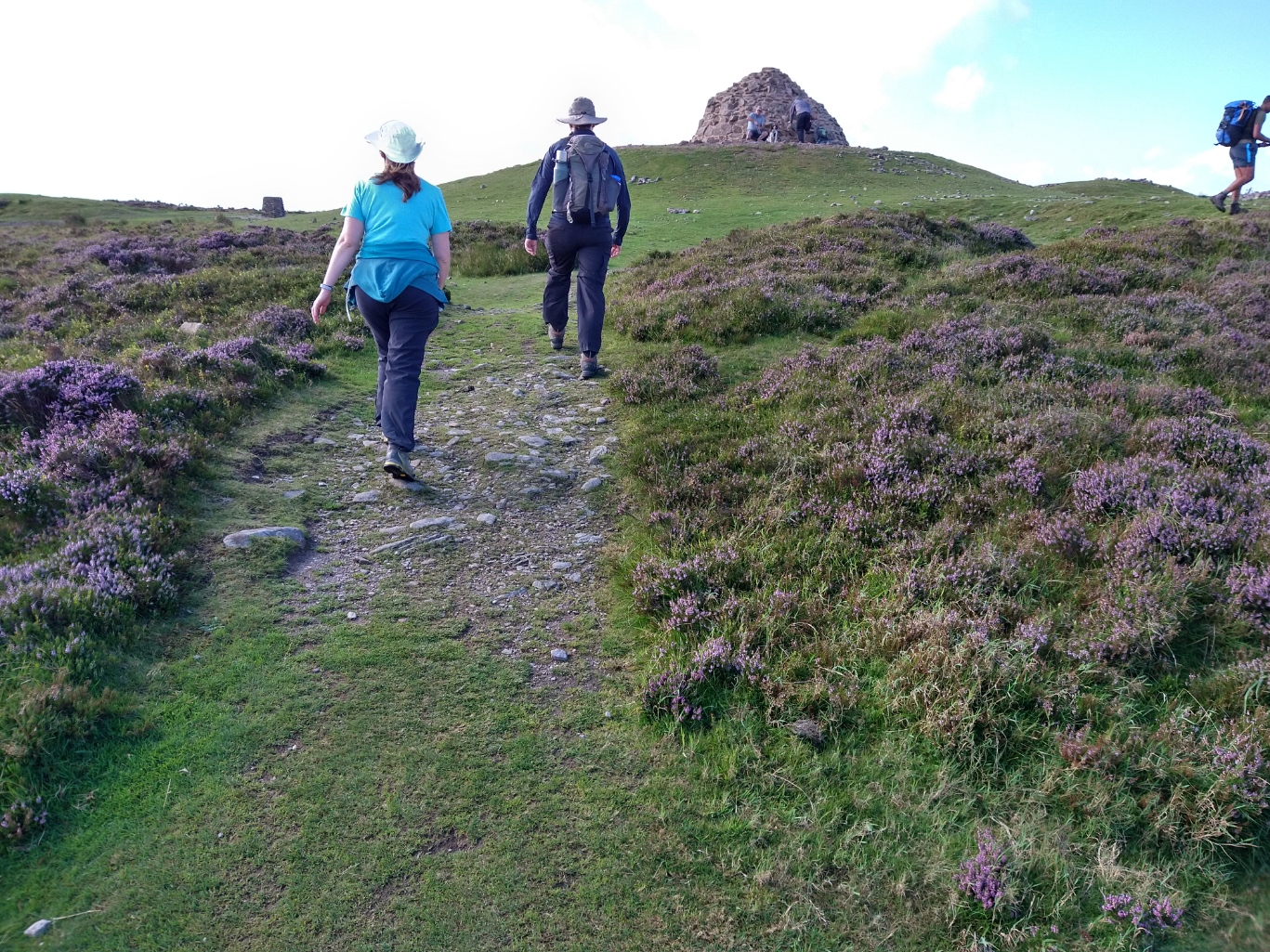
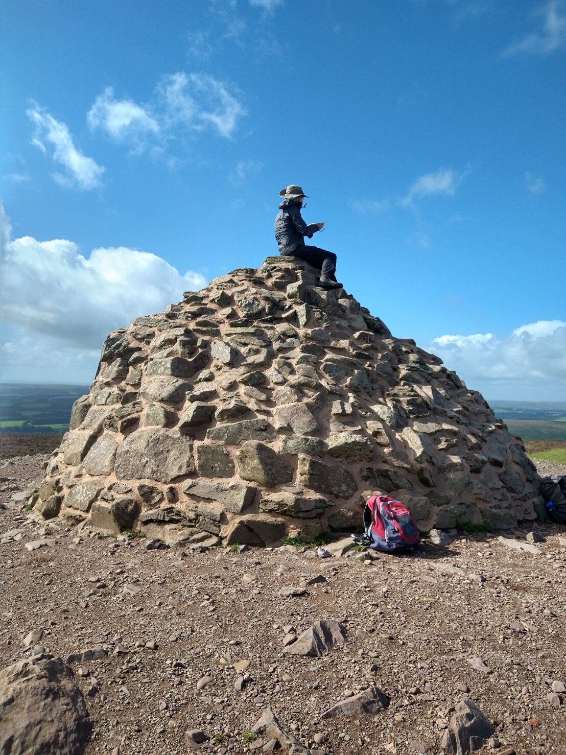
The summit itself is marked by a huge cairn, which you can scale for improved views. We’d picked one of the windiest days of the year (gusts approaching 50mph) to reach the top. Rather than risk being blown off, I settled for keeping my feet on the floor. Still, I was able to enjoy the impressive panoramic views from there. Even then it was occasionally difficult to keep upright!
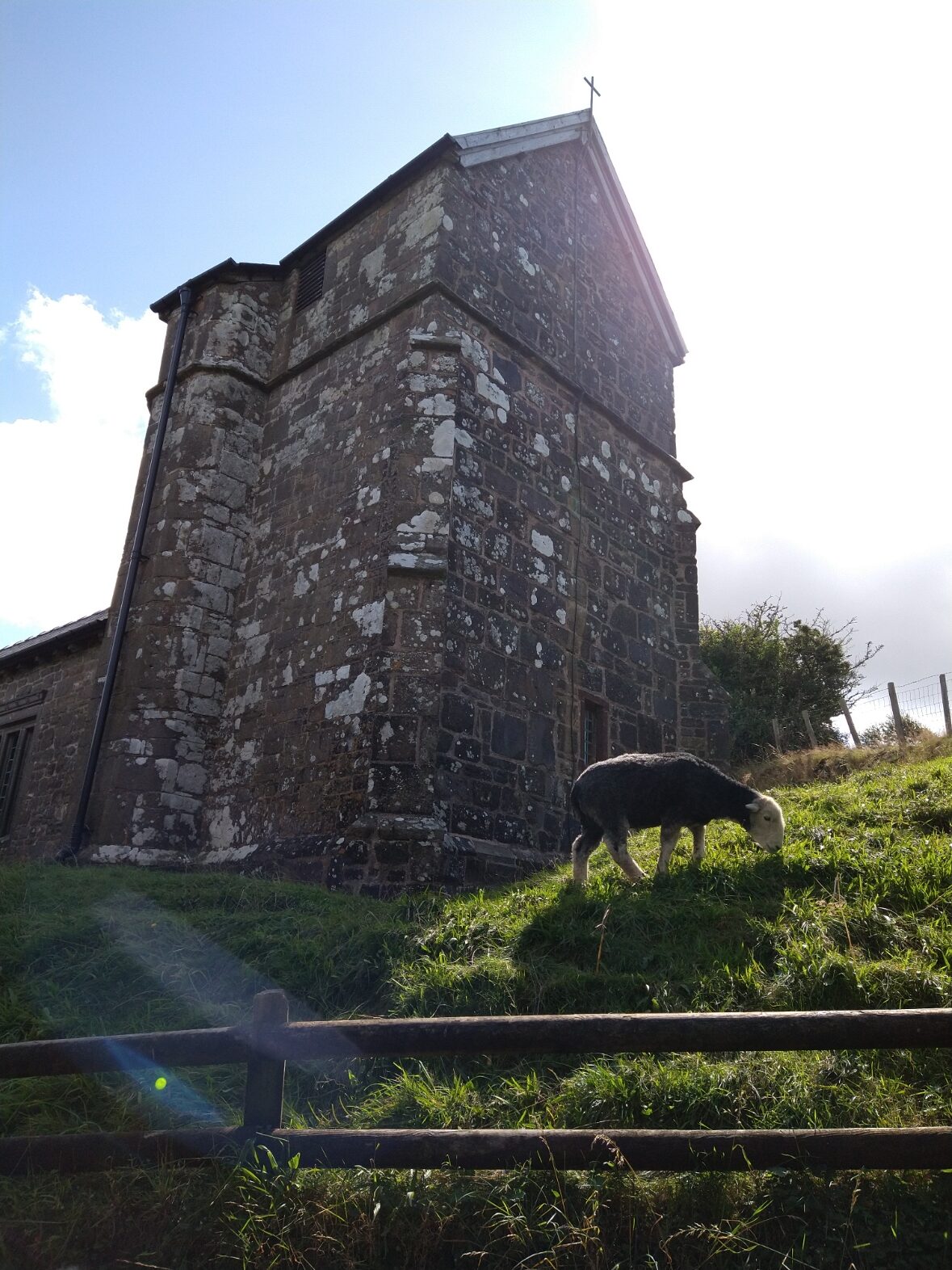
For the return journey we chose a more indirect route. Following the ridge running Westwards, we dropped down towards a lane. As we got lower, the landscape began to change. Soon, we were walking through grassland and gorse past forested areas until we came to to the tiny hamlet and church at Stoke Pero.
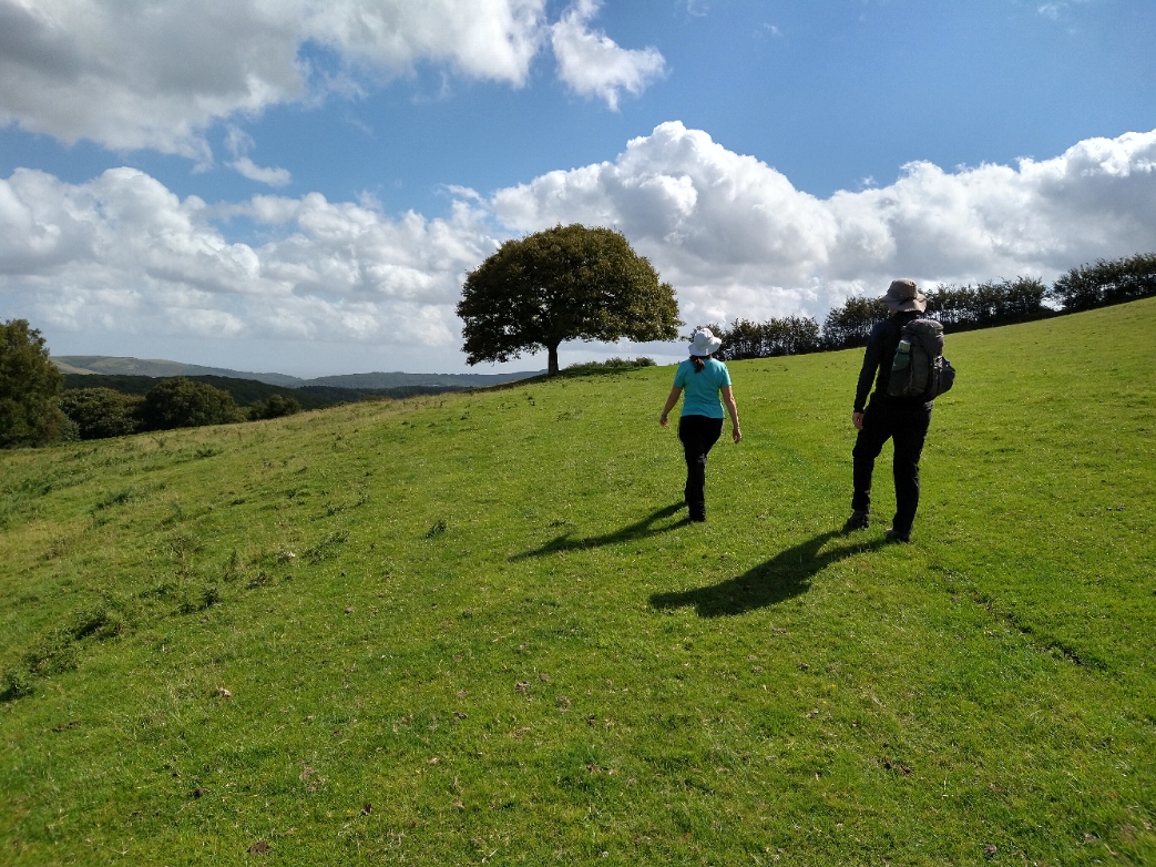
From there, the walk continued across farmland, before dropping into a delightful wooded section, complete with bubbling brook. Having forded the stream (although there is a bridge when it’s running deeper), the path soon bent fairly steeply upwards. Then, we joined the Coleridge Way long-distance path for a short section back to the car park.

It’s my opinion that no good walk is complete without a watering hole or lunch stop of some description. We chose the Periwinkle Tea Rooms in nearby Selworthy village for some much needed cream tea refreshment.

Total Length : 6.84 miles (11 km)
Total Ascent : 1320 feet (402 m)
Difficulty Level : Moderate / Challenging
Estimated Time : 3 hrs 7 mins
Travel from The Old Quarry : 21.9 miles / 42 mins

